Newsletter Subscribe
Enter your email address below and subscribe to our newsletter
Enter your email address below and subscribe to our newsletter


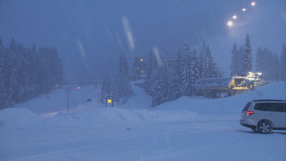
A series of powerful storm systems are bringing several feet of snow to the mountains and gusty winds and rainfall to the lowlands.
SEATTLE — A Blizzard Warning goes into effect for the Cascade Mountains on Wednesday evening with up to 1 to 3 feet of snow and gusty winds expected.
The lowlands will experience heavy rain and high winds that could lead to possible local flooding and power outages. The most widespread impacts are expected Wednesday with a Wind Advisory for much of the lowlands.
The criteria for NWS to issue a Blizzard Warning include large amounts of snow, wind exceeding 35 mph and visibility of less than a quarter of a mile — all sustained for at least three hours. While snow is common in the Cascades, sustained winds during a snow event are less so.
NWS Seattle has issued just seven Blizzard Warnings, four of those in the last two years.
Here’s a look at what to expect in the next 24 to 48 hours in the mountains.
Weather alerts have been issued for the Cascade Mountains as significant snowfall is expected.
KING 5 has activated First Alert for this weather event, which could affect lives, property or travel in the Pacific Northwest region. During this event, the First Alert Weather Team will bring you the latest information to keep you and your family safe.
After a brief break in storm systems Wednesday morning, a stronger, warmer system is moving into western Washington.
Strong gusty winds up to 50 mph continue overnight in the lowlands and in the mountains. The strongest winds are expected Wednesday night. Heavy rain is also expected in the lowlands.
Snow levels could rise to 4,000 to 5,000 feet Wednesday evening for rain at Snoqualmie and White passes and possibly Stevens Pass. The warming temperatures will drop heavy, wet snow on the colder, light snow, producing high avalanche danger for the western slopes of the Cascades.
Additional snow accumulations of up to a foot are expected to hamper travel and visibility in the mountains. The National Weather Service warns that travel may be “impossible at times through the mountains,” and winds could bring down tree branches.
The weather system is expected to move through by Thursday morning with a brief let-up in lowland rain and mountain snow. The next system moves in quickly to bring additional precipitation.
A ridge of high pressure is expected to develop off the Washington coast Saturday, bringing drier conditions to the lowlands and mountains.
A warm front arrives later in the day on Sunday bringing more rain. Snow levels are expected to shoot up to 5,000 feet on Sunday and continue climbing to 6,000 to 8,000 feet Monday and Tuesday.
Through Friday, the region could see significant precipitation totals:
Forecast details may change. Check back in for updates.